View Single Post
Old 12-Mar-2018, 11:15 PM   #23
rabbit73
Retired A/V Tech
 
Join Date: Aug 2012
Location: S.E. VA
Posts: 2,747
This is the WVUT terrain profile showing the increased elevation at your location, but that last big hill is in the signal path:


You are on the extreme fringe of coverage:


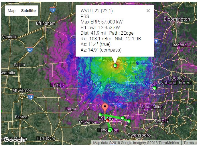
raising the antenna does this:
80 ft 1Edge NM 1.0 dB
140 ft LOS NM 15.0 dB

As you said, "Higher is better."

Attached Images
File Type: jpg mars1162TVFp2WVUTrev2.JPG (118.9 KB, 1252 views)
File Type: jpg mars1162TVFcovWVUTrev.JPG (115.3 KB, 1251 views)
File Type: jpg mars1162TVFcovWVUTrevCU.JPG (157.9 KB, 1227 views)
__________________
If you can not measure it, you can not improve it.
Lord Kelvin, 1883
http://www.megalithia.com/elect/aeri...ttpoorman.html

Last edited by rabbit73; 13-Mar-2018 at 12:06 AM.
rabbit73 is offline   Reply With Quote